Clarendon
,
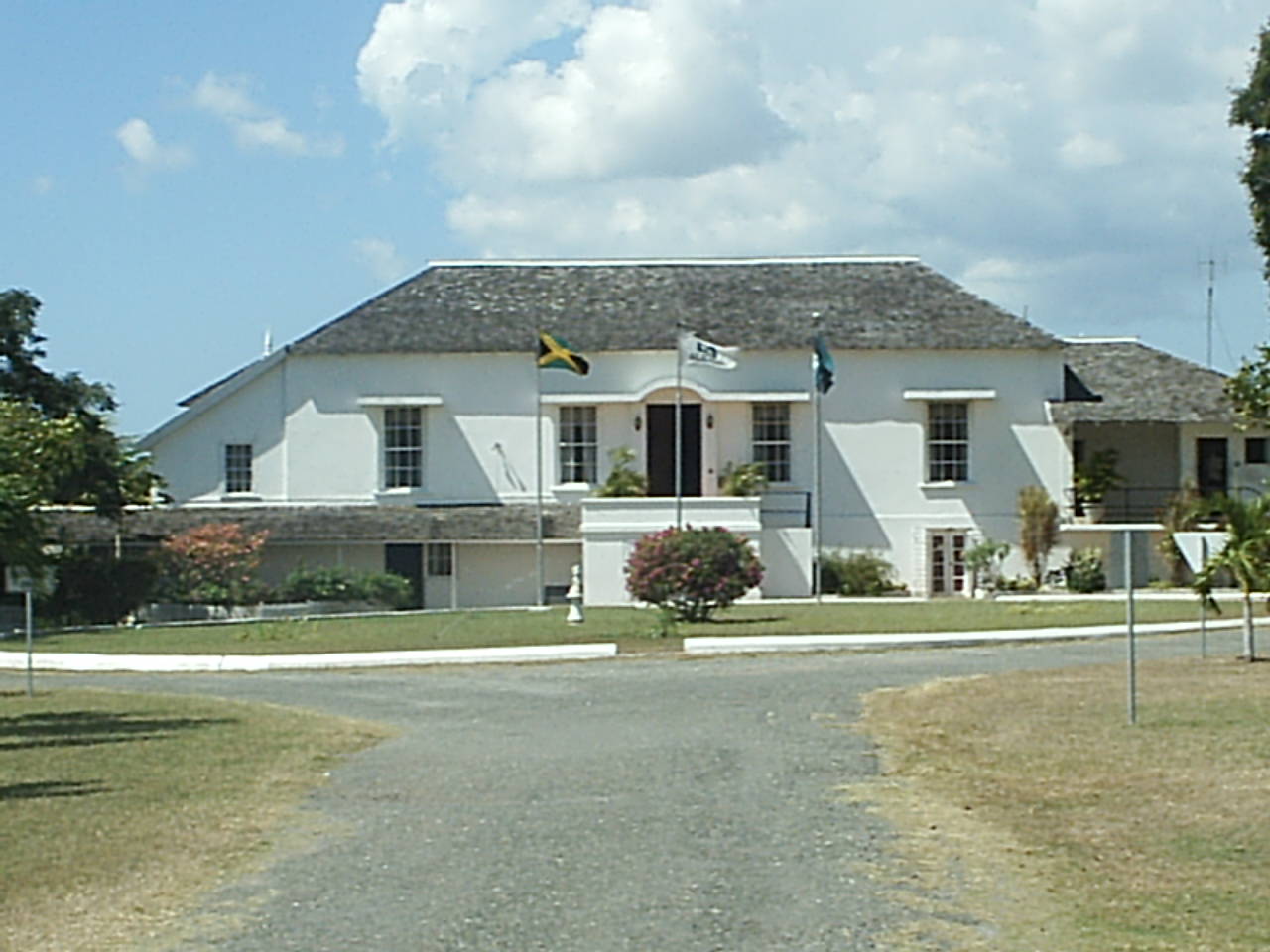
Description
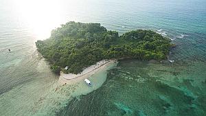
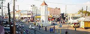
The Parish of Clarendon is Jamaica’s third largest parish in size behind St. Catherine and St. Ann, with the parish covering approximately 1,196 square kilometers. It is located on the southern half of the island and is bordered to the north by St. Ann, to the east by St. Catherine, to the west by Manchester and to the south by the Caribbean Sea.
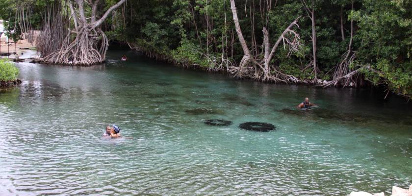
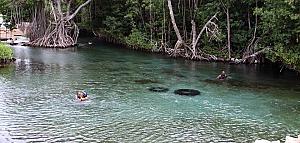
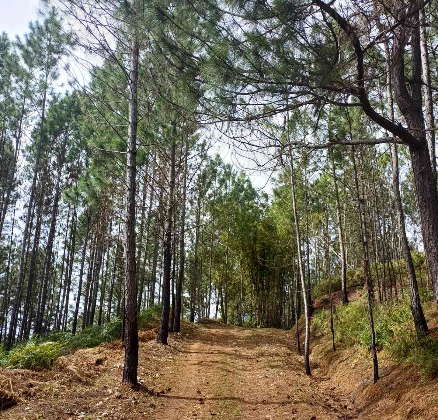
The topography of the parish is generally low, except in the north and north-eastern parts, and that is why historians have said that when flying over the parish, you will see Clarendon as a wide plain laying between the Carpenter’s Mountain (Manchester) in the west, and the Braziletto Mountains in the east. Mocho Mountains (2000 ft) and the Bull Head Mountain Range (2792 ft), said to be the geographical centre of the island, are to be found in Northern Clarendon. Clarendon has five major rivers, the Milk River, Rio Minho, Pinders River, Cave River and Thomas River.
Similar Attractions
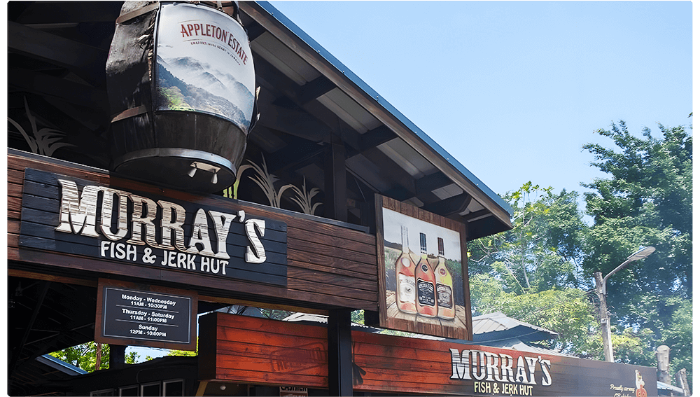
When locals crave real jerk flavor, they head to Murray's! This isn't tourist jerk – it's the authen...
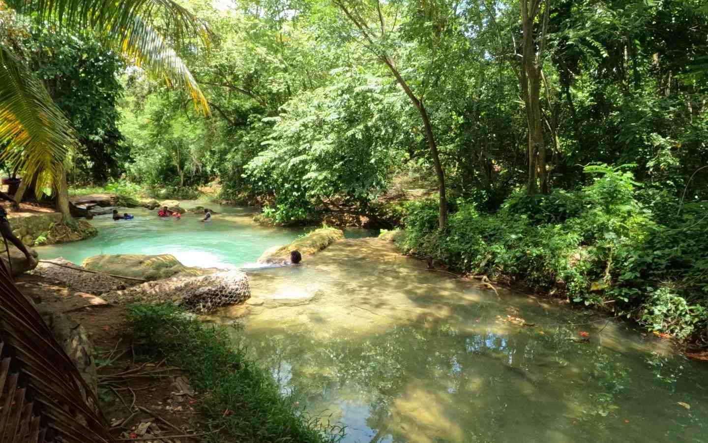
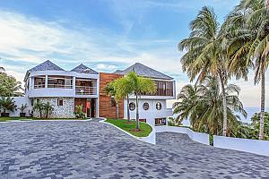
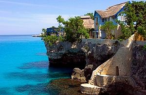
Ready to discover one of Jamaica’s best-kept secrets? While Clarendon is often overlooked by the typ...
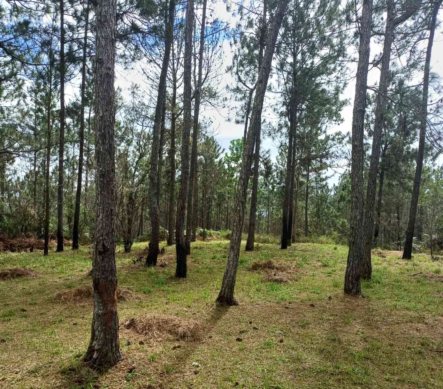
If you’re looking for a peaceful escape into nature with stunning views and cool mountain air, Bull...